Mapping the landscape, managing the future
Situated in a semi-arid zone, the Souss region of Agadir is vulnerable to man-made and climatic changes. Part of the area is a protected UNESCO Biosphere Reserve and the region plays an important part in Morocco’s export of fruit and vegetables.
Monitoring vulnerable landscapes
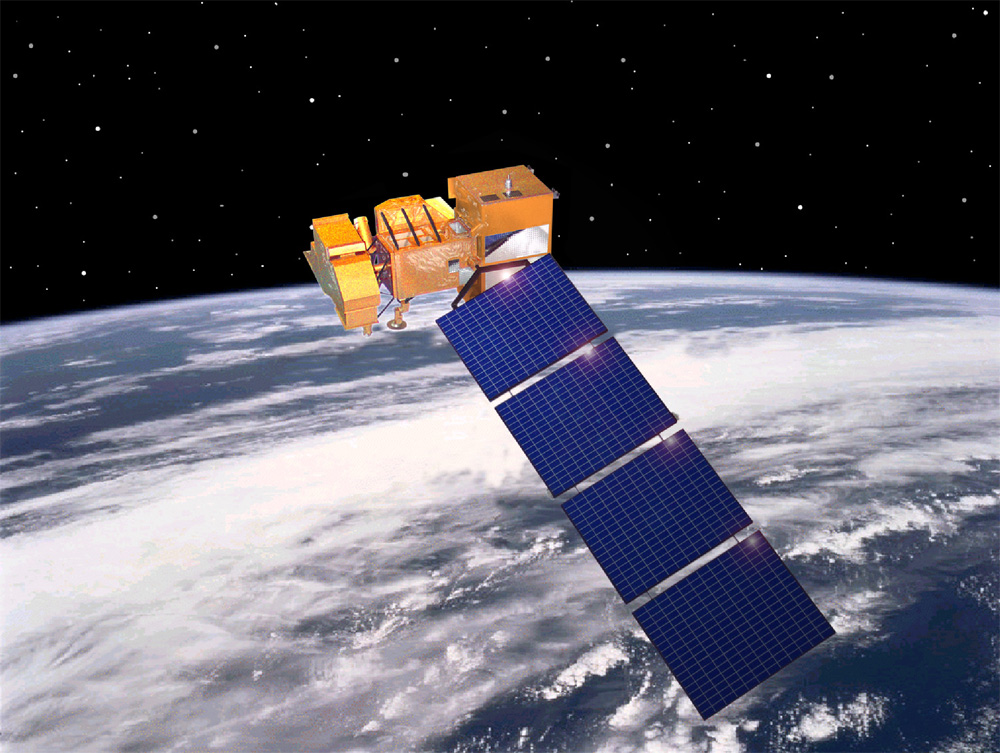
To monitor this fragile and changing landscape, researchers from the Image et Reconnaissance de Formes – Systèmes Intelligents et Communicants (IRF-SIC) laboratory of the Ibn Zohr University in Morocco created thematic maps of the Agadir region using remote sensing and GIS technology.
Thematic maps enable researchers to focus on individual features of the landscape such as land cover or the progress of natural hazards, which could have socio-economic impact on the region. These maps can be used to help land-management authorities take action to protect the area.
Collaborating on innovative landscape analysis
IRF-SIC processed the maps using innovative techniques at Centre d’Etudes Spatiales de la Biosphère (CESBIO) in Toulouse, France. The French institution has the capability to classify satellite images using methods that are not available in commercial software.
Scientists at the two institutions used the high-capacity EUMEDCONNECT3 and MARWAN research and education networks to transfer the large data files to each other.
Producing maps
Using new methods, the researchers produced a variety of maps of Agadir including: land cover maps; urban road-network maps; and the evolution of the Argan (an endemic tree found only in this region) between 1988 and 2005. Their findings were published in a number of journals.
Plans are underway to provide land-management authorities in Agadir with relevant thematic maps. Already, the researchers’ output has been used to provide GIS training for the transport department of the urban municipality of Agadir.
The research could be developed to create new thematic maps to monitor, for example, natural hazards and accessibility which have socio-economic implications for the region.
For more information please contact our contributor(s):