Menu

KNMI shares weather data with fellow institutes via EUMETSAT

Weather satellites provide raw data for weather and climate models. EUMETSAT collects this raw data and distributes the processed data to weather institutes in its member countries, such as the Dutch KNMI. The institutes themselves contribute to the processing of the data. How does this work, how are the data distributed, and what is SURF’s role?

European weather institutes work together in EUMETSAT

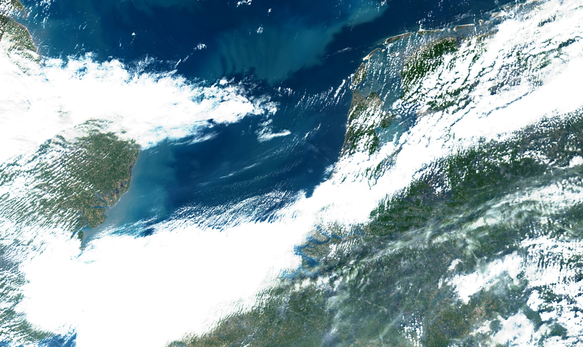
The public knows The Royal Netherlands Meteorological Institute (KNMI) for its weather images and the accompanying weather forecasts. KNMI produces these weather forecasts based on weather data provided by land-based weather stations and weather satellites. Before the raw weather data can be used, it must be processed to create usable data that can be read into weather and climate models. The weather institutes do this for each other.

Anton Verhoef works as an information technologist at KNMI. He explains: “All European meteorological institutes work together in the European organisation EUMETSAT. EUMETSAT collects raw weather satellite data from satellite operators all over the world and, after processing, supplies this data to its members. Some of the processing is carried out by EUMETSAT itself, while some is contracted out to its members.”

From wave pattern to wind direction and speed

KNMI processes data from two important orbiting weather satellites: SCATSAT-1 and MetOp. SCATSAT-1 is an Indian weather satellite managed by the ISRO Satellite Centre and MetOp is a European satellite managed by EUMETSAT. Both satellites carry a scatterometer. This is a meteorological instrument that uses radar to measure wave patterns at sea.

“With the data from that instrument, we can measure wind force and direction. This is, of course, important information for weather forecasts. KNMI receives the raw data (i.e. the wave patterns) that the satellite supplies to EUMETSAT. Our job is to develop algorithms that can convert the raw data. So that we can provide our fellow institutes with data files containing the time, coordinates and corresponding wind direction and speed for each measurement. The fellow institutes can then use the processed data in their climate and weather models,” said Verhoef.

KNMI also performs this operation for GOME-2. This instrument, also mounted on the MetOp satellite, takes measurements of the ozone layer. It provides important information on such matters as the hole in the ozone layer. KNMI receives the raw data from this instrument, too, which is then converted using algorithms into data files that can be used in weather and climate models.

“Fellow institutes of KNMI use data that we proccess in their climate and weather models, and vice versa,” he said.

Data provision must continue 24/7

KNMI is responsible both for generating usable data, and for making this data available to fellow institutes. This is also done via EUMETSAT.

Robert van Versendaal, application manager at KNMI says it is important that data provision continues 24/7.

“We cannot afford to have our connections down: wind data that is a day old is old news to the weather models. This is why we are in the process of redundantising our data connection with EUMETSAT, he said. “Our primary connection to EUMETSAT is via a satellite link: we receive and transmit our data via two satellite dishes mounted on the roof of our office in De Bilt. As I mentioned, this connection should always work, but weather conditions can throw a spanner in the works. This can happen during thunderstorms, for example, or with wet snow,” said van Versendaal.

Redundant connection with EUMETSAT via SURF and GÉANT

In addition, future satellites will deliver data in higher resolution, and will also measure parameters that they cannot measure today. An example is the lightning detection instrument on the new generation of European Meteosat satellites. Due to these developments, more and more bandwidth is needed to transmit the data. At some point, the bandwidth of the satellite link between KNMI and EUMETSAT is no longer sufficient for this.

“This is why for some time we have also been working with the so-called EUMETCast Terrestrial connection. This is a connection that uses the GÉANT and SURF research networks. We are connected to the SURF network, which is connected to the European GÉANT network. And GÉANT in turn has a direct connection with EUMETSAT. We’re still using this connection mainly as a back-up channel, but we intend to start using it operationally soon. Through SURF and GÉANT, the continuity of data delivery will then be even better guaranteed, so we will never be without up-to-date weather satellite data,” said van Versendaal.

Image credit: 21/4/2021 Sentinel-3 OLCI, True colour – enhanced image – centred on Amsterdam


Published: 05/2021

For more information please contact our contributor(s):